Mont Fallère, from Thouraz dessus


Edited by:
Massimo Martini
Updated at: 12/05/2026
Access
Road Navigation
Exit the motorway junction at Aosta-Ovest and continue on the - link road for 350m (350m). Exit onto the Valle d'Aosta State Road towards Aosta Centre and Mont Blanc, continuing for 2.6km (2.95km). At the roundabout take the second exit, keeping on the Strada Statale for 3.3km (6.25km). At the next roundabout take the third exit onto Viale del Gran San Bernardo, continue for 1.9km (8.15km) until you reach another roundabout. Here take the third exit following the signs for Le Saraillon Region and Regional Road , continue for 3.0km (11.15km). Turn left onto Region Champailler/ and continue for 1.1km (12.25km). Turn left again onto the hamlet Arpuilles Chacotteyes and join the Regional Road , follow this road for 6.6km (18.85km). At the crossroads for Thouraz, continue in the direction of Thouraz Dessus for 5.1km (23.95km) until you reach the hamlet of Thouraz Dessus.
Parking
In the hamlet of Thouraz Dessus there is a small free car park 🅿️ near a fountain 💧, the starting point of the route.
Access by public transport
To reach the starting point of the itinerary, private transport is required, as the hamlet is not served by public transport.
Distance and travel time
🕒Travel time: 39 minutes
📏 Distance: 24.10km
GPS navigation
Information note
The information provided has been verified as of the date of the survey of the itinerary. Before departure, it is advisable to check possible changes in the route or road conditions. Please consult Google Maps or Apple Maps for the latest information.
.Introduction
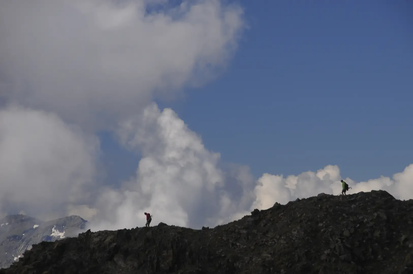
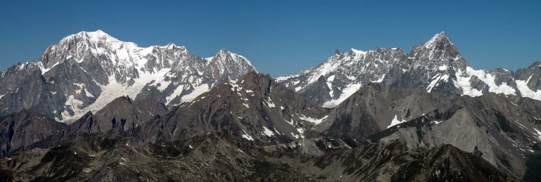
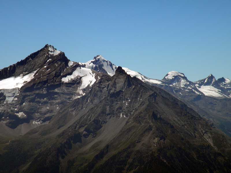
Out and back route reaching the isolated summit of Mont Fallère (3,061m), in the Grande Rochère-Monte Fallère group of the Pennine Alps, on the administrative border between the municipalities of Sarre, Gignod and Saint-Pierre. Departing from the hamlet of Thouraz dessus, a wide progression unfolds: larch and birch forests at the bottom of the valley, followed by progressively higher pastures and alpine pastures (Le Morgnoz, Tza de Morgnoz), Lac Fallère at an altitude of 2,415m as an important intermediate destination, and finally the Bivacco Pansa (2,983m) preceding the last stretch of rocky ridge. The summit presents a technical difficulty of T3 (advanced hiking) with a total difference in altitude of 1,395m. The last section of the ridge is exposed, with short passages requiring the use of hands and involving exposure of mixed terrain between rock and debris. From the summit, the panorama embraces the main mountain massifs of the region: Gran Paradiso, Monte Rosa and Grivola. The itinerary is recommended from June to September, when there is no snow and visibility; the final ridge is not recommended in the event of thunderstorms or strong winds.
.Description
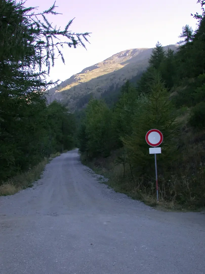
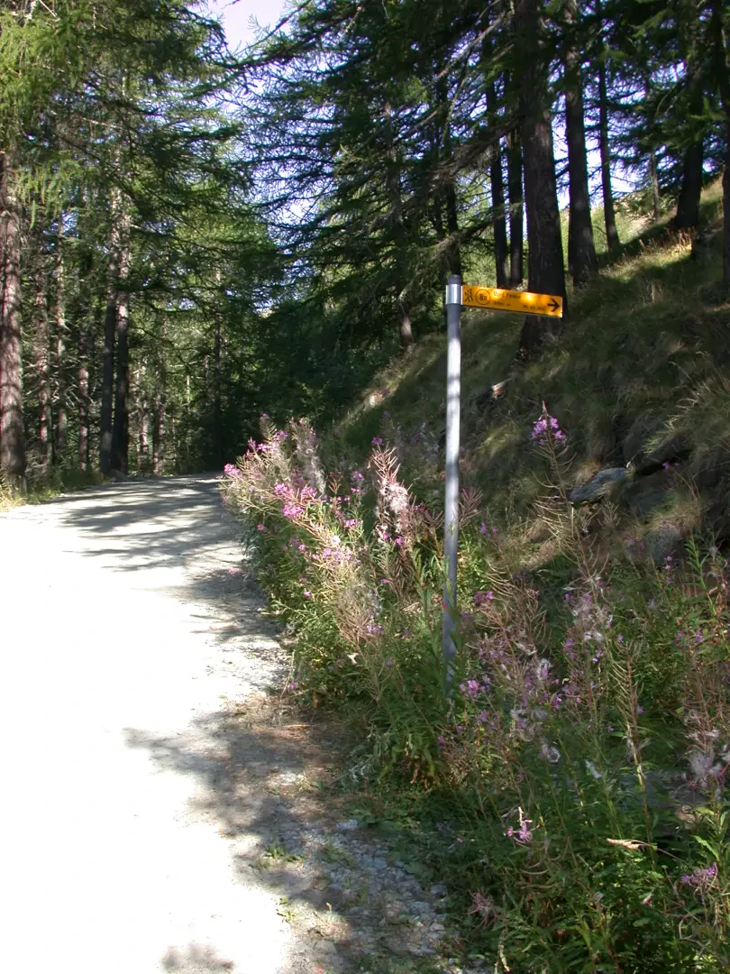
0h00' 0.00km From the car park, go briefly back along the access road to Thouraz dessus until you meet the no-transit sign and a signpost.
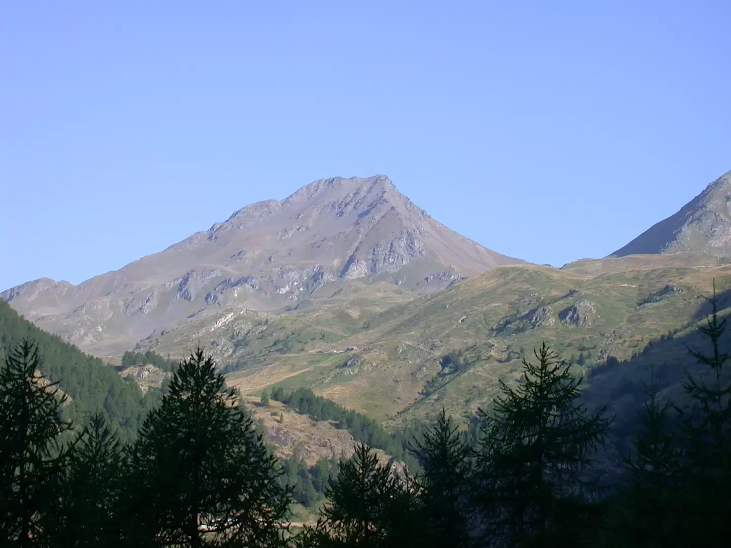
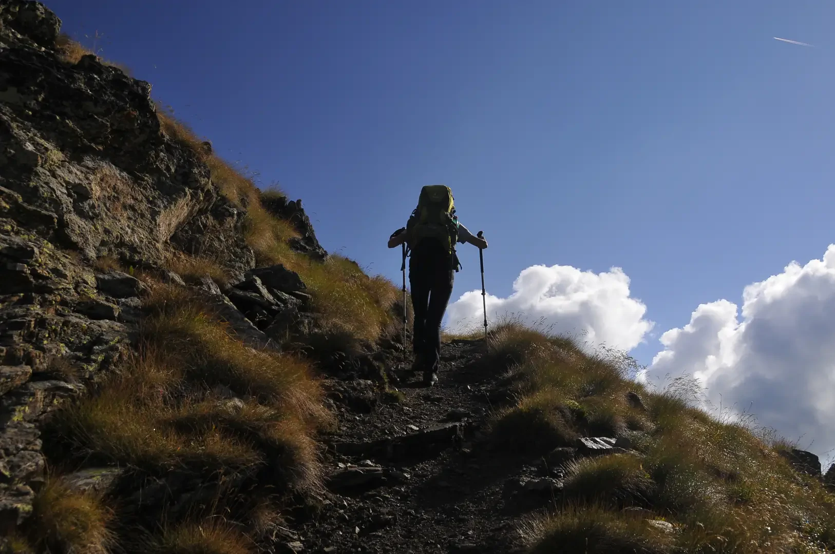
0h04' 0.32km Continue straight ahead on the dirt road that climbs with a slight incline between larch trees (Larix decidua) and birch trees (Betula pendula), following the orographic left of the Vallon de Clusellaz. Along the way, there are striking views of the trapezoidal silhouette of Mont Fallère, until you reach a fork (1680m).
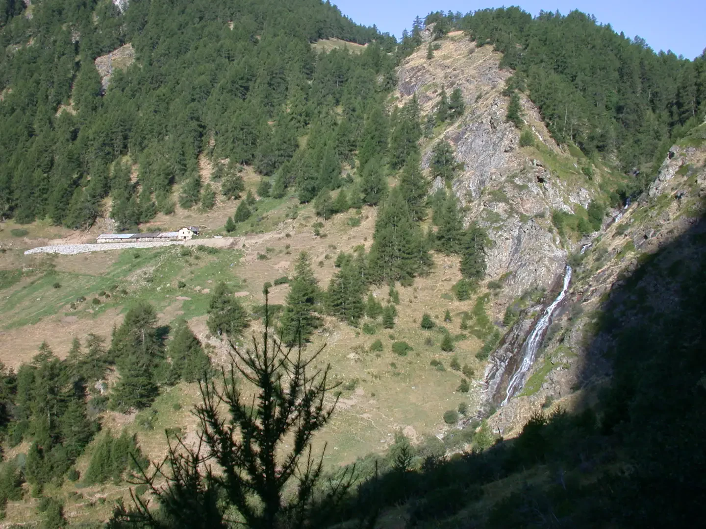
0h15' 0.80km Ignore the dirt road on the left that leads to the Arpy mountain pasture and continue slightly uphill until you come out of the forest. On the left, in the middle of the valley, you can admire the Torrent de Clusellaz waterfall and the remains of the huge Becca France landslide, which broke off from the mountain at 6 a.m. on 6 July 1564, burying the old village of Thora. At an altitude of 1750m, ignore the track to the left that descends to the Moron mountain pasture and continue on the dirt track, which, after a couple of hairpin bends, reaches a new signpost.
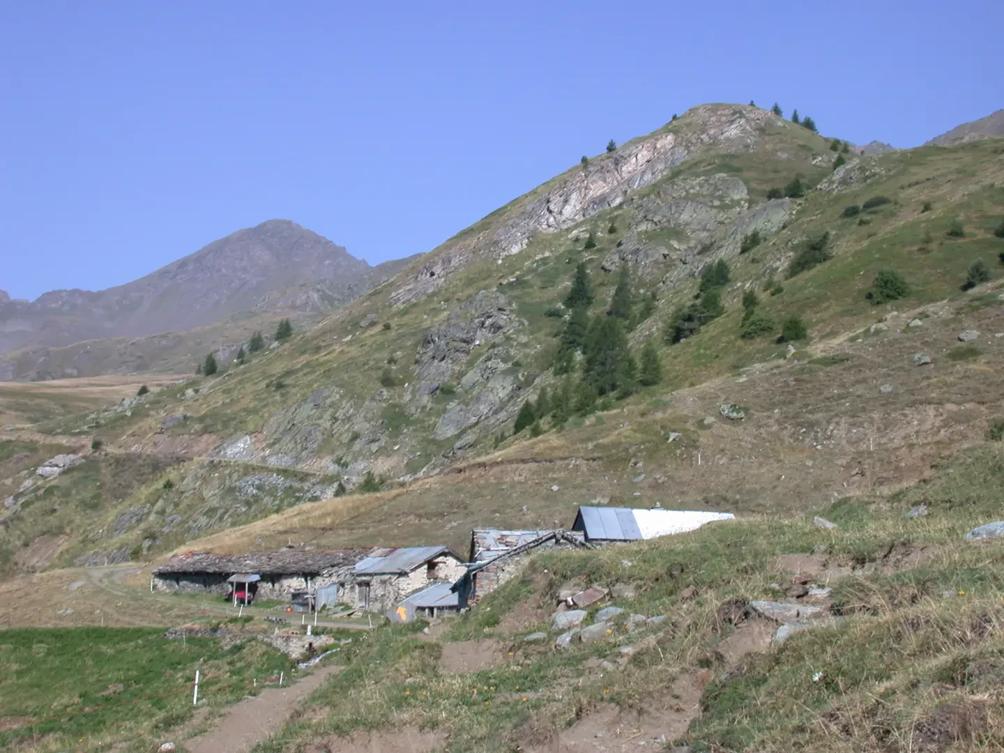
0h50' 2.30km Take the path to the right, which initially runs parallel to the road below and enters the forest. Cross a stream and, once out of the wood, the path begins to climb up the pastureland with a series of short switchbacks along the grassy ridge. Having passed the last of the larches, some of considerable size, the trail crosses some juniper (Juniperus communis) thickets and, with a diagonal turn to the left, reaches the Le Morgnoz mountain pasture (2056m).
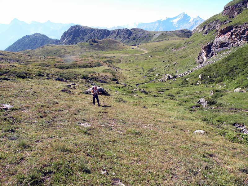
1h30' 3.55km Once past the alpine pasture, take the farm road again to a crossroads. Take the second road on the left and continue slightly uphill in a north-westerly direction. At the hairpin bend, rejoin the path, which crosses the pastures in a few minutes and leads to the Tza de Morgnoz mountain pasture (2,276m).
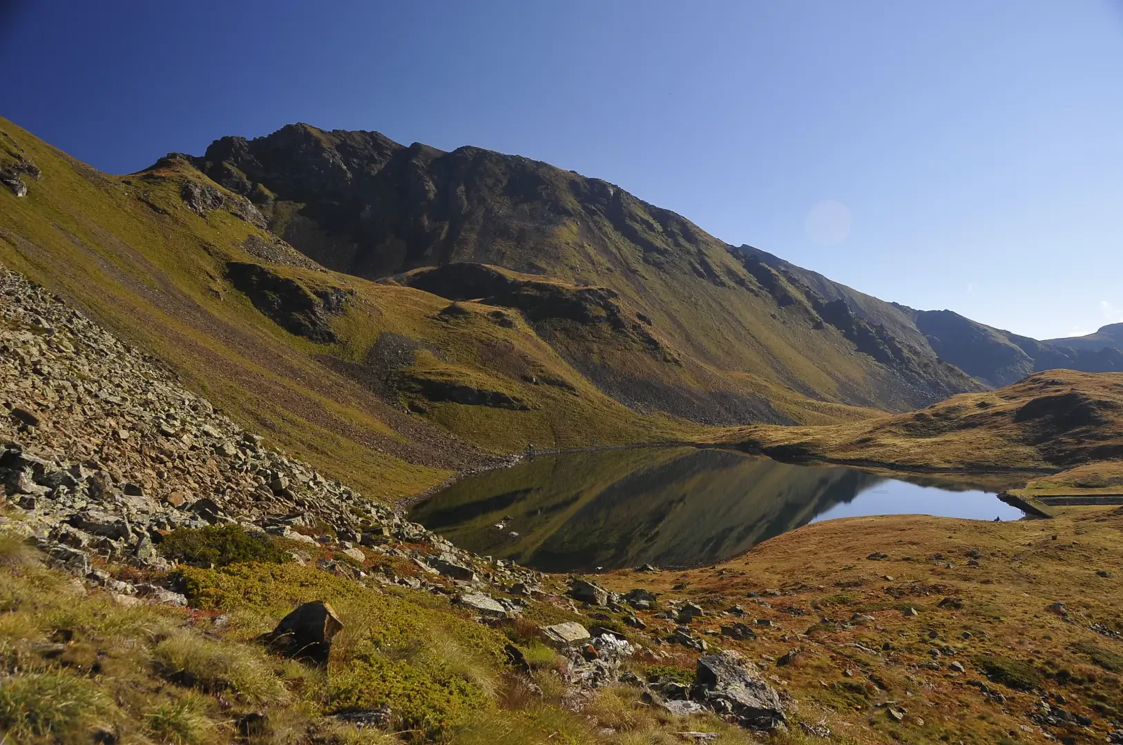
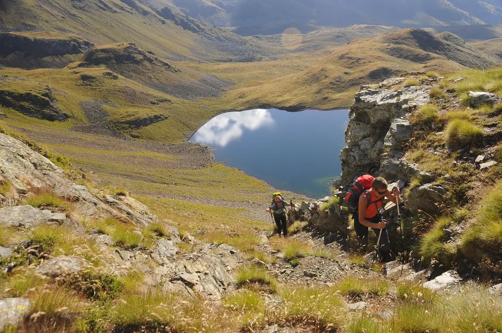
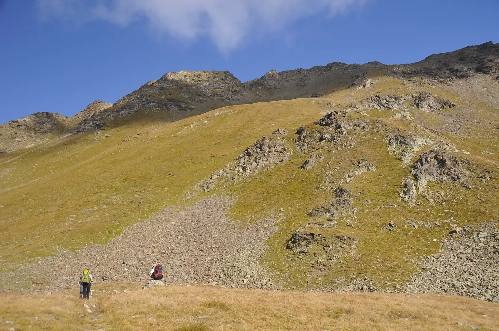
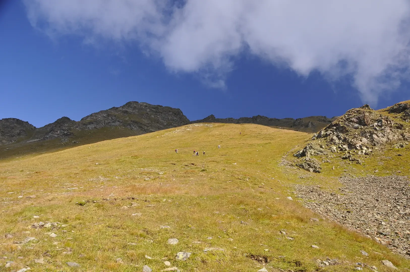
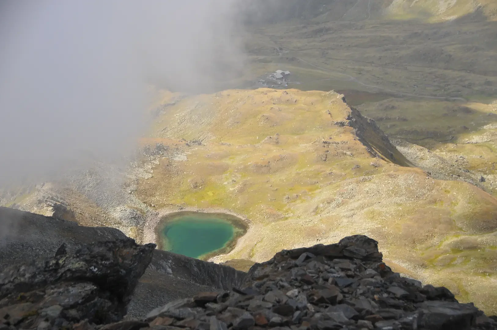
2h35' 5.26km Once past the mountain pasture, cross a wide clearing, the end point of the farm road, and resume the climb along the grassy ridge before the lake. Keep to the right and climb up the pasture until you come to the water collection pool. After a short flat stretch, you reach Lac Fallère (2415m).
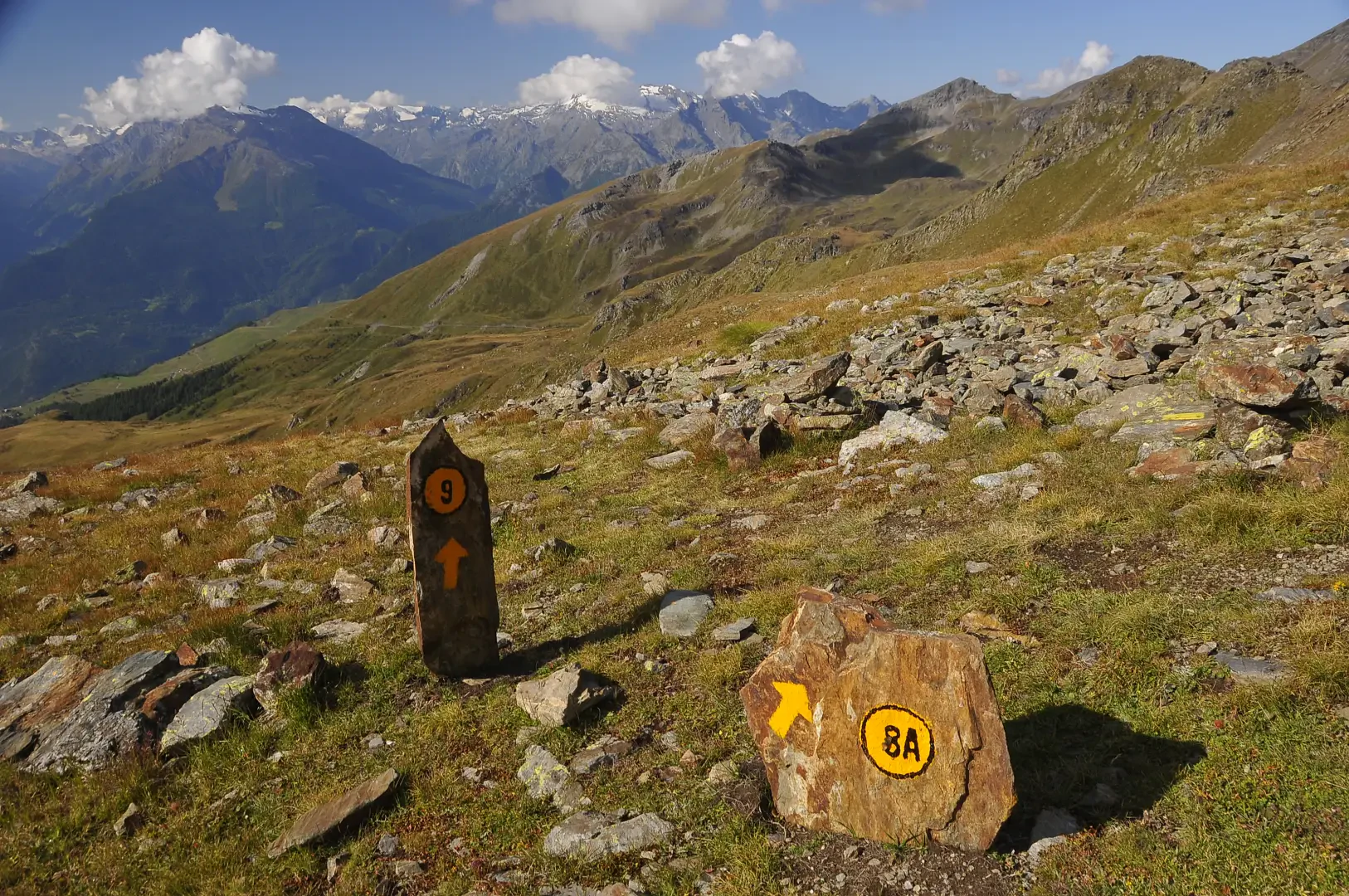
2h40' 5.87km Turn left, briefly following the Tour du Mont Fallère trail, and climb up a grassy ridge until you reach a fork (2440m).
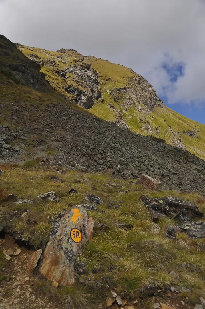
2h45' 6.07km Turn right and follow the path, which starts to climb up the southern slope of the goal with a fair gradient. On the first part of the ascent, there are beautiful views of Lac Fallère below. The path heads towards a small rocky ridge, after which, with a series of twists and turns, it reaches a small plateau where it joins the path coming from Bellun (1664m).
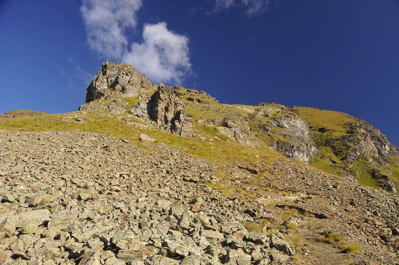
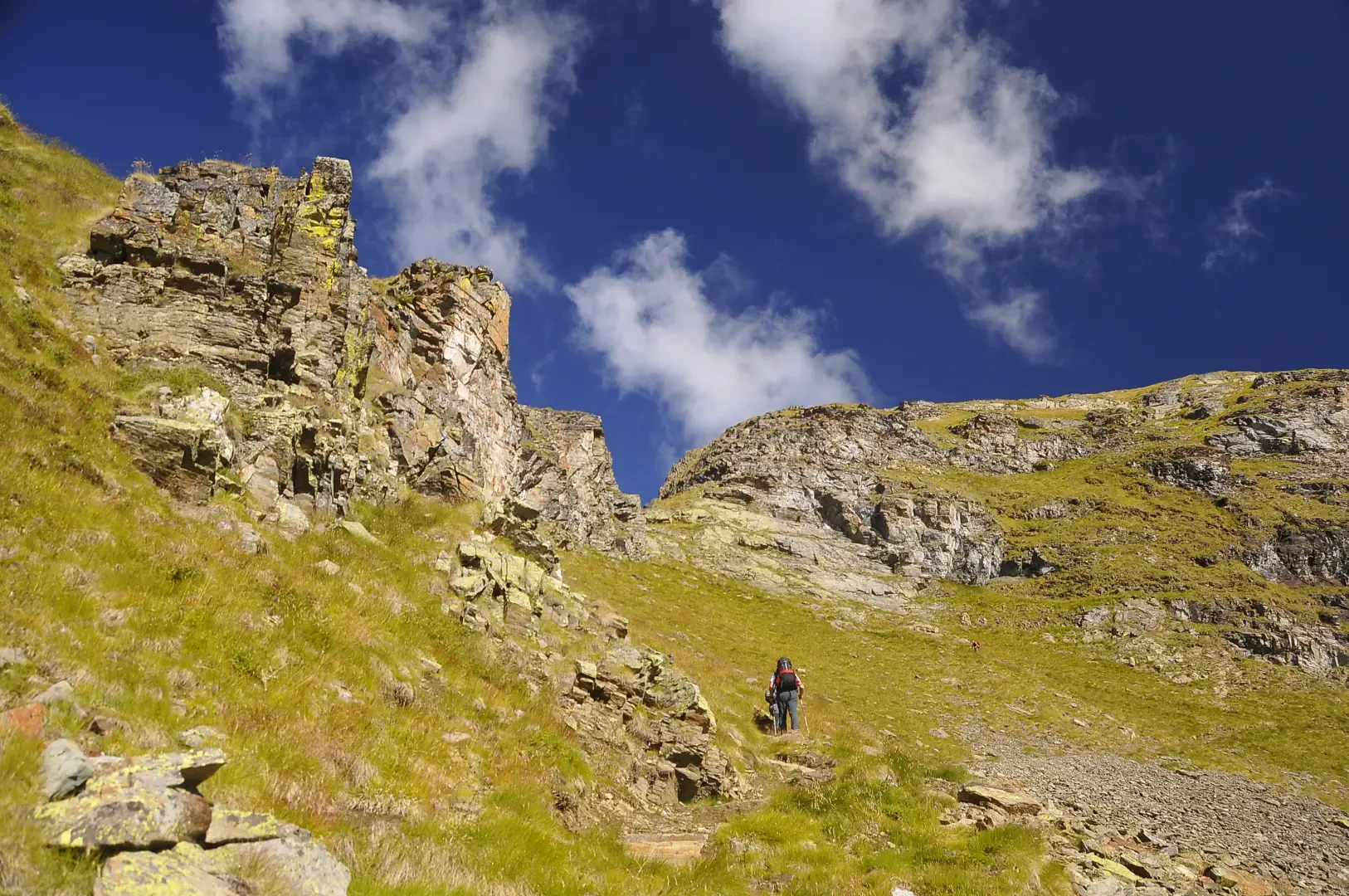
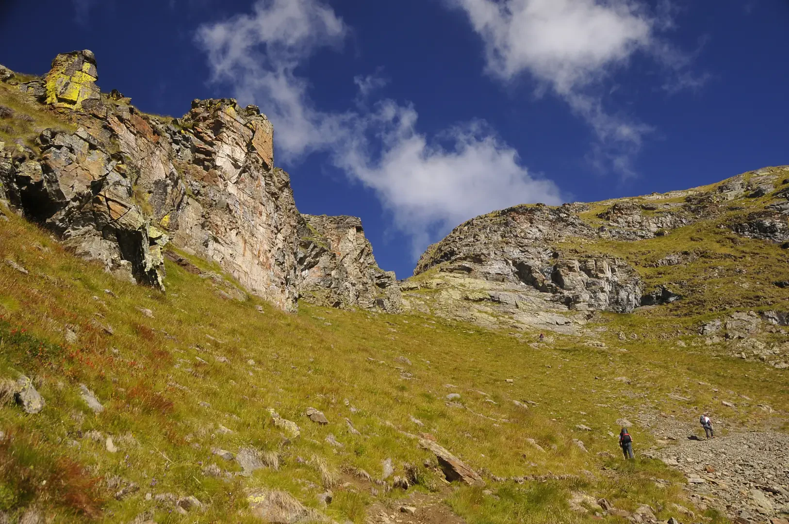
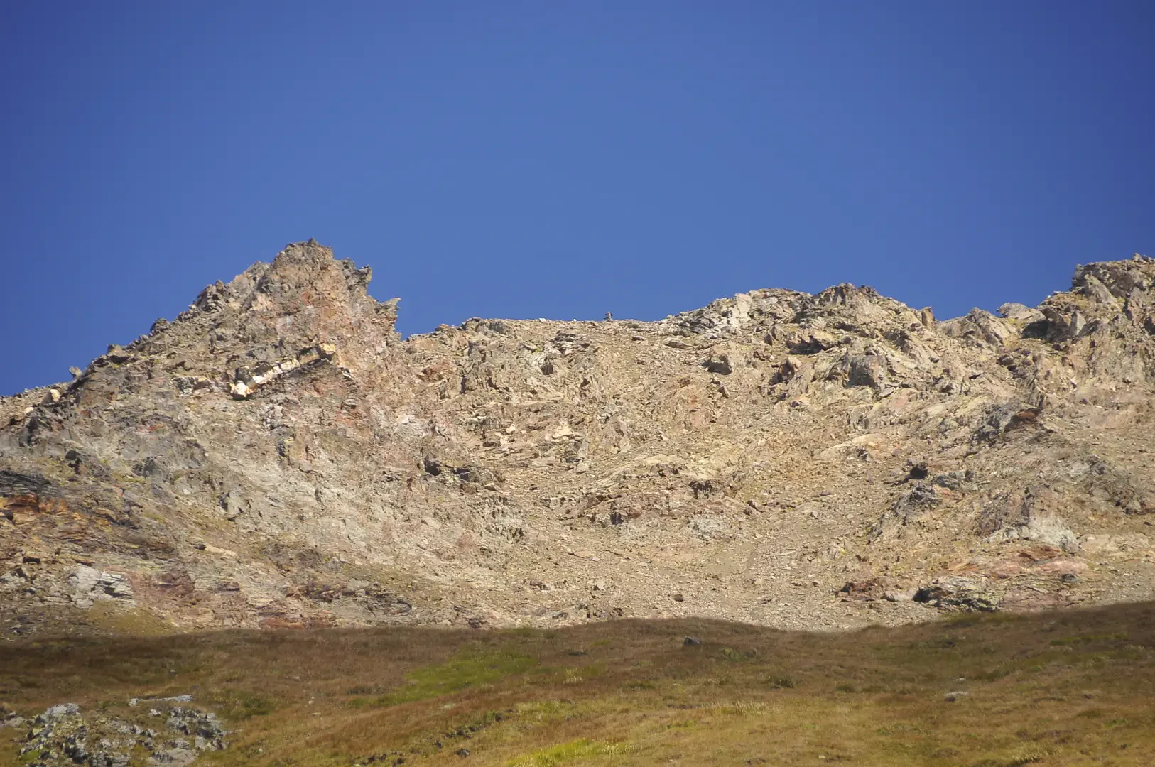
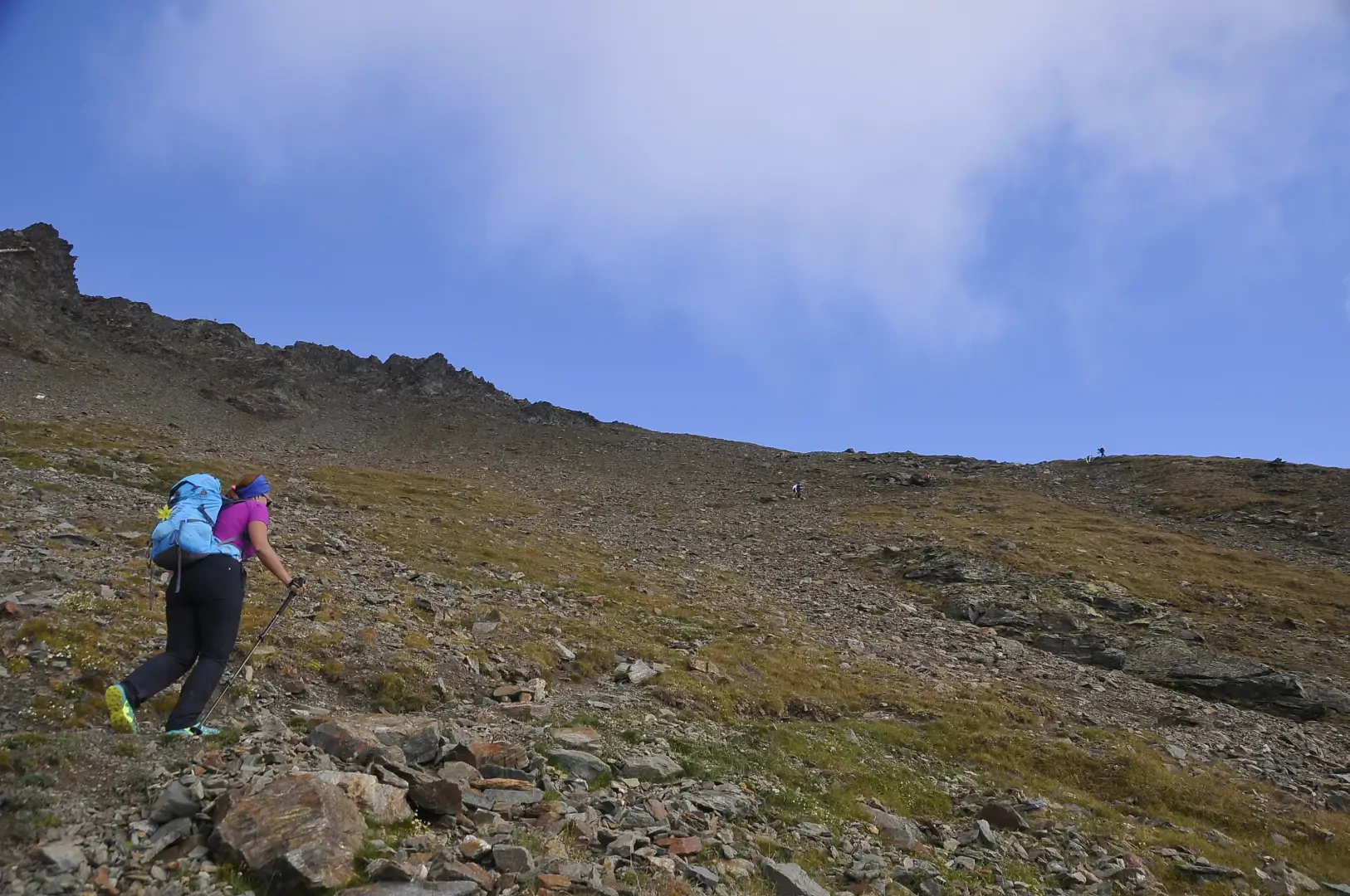
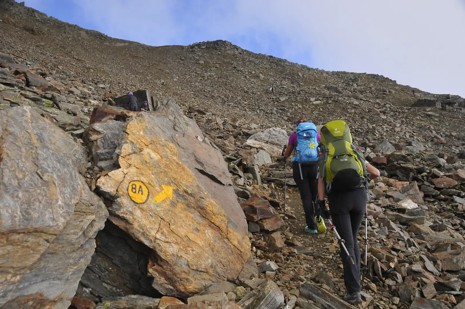
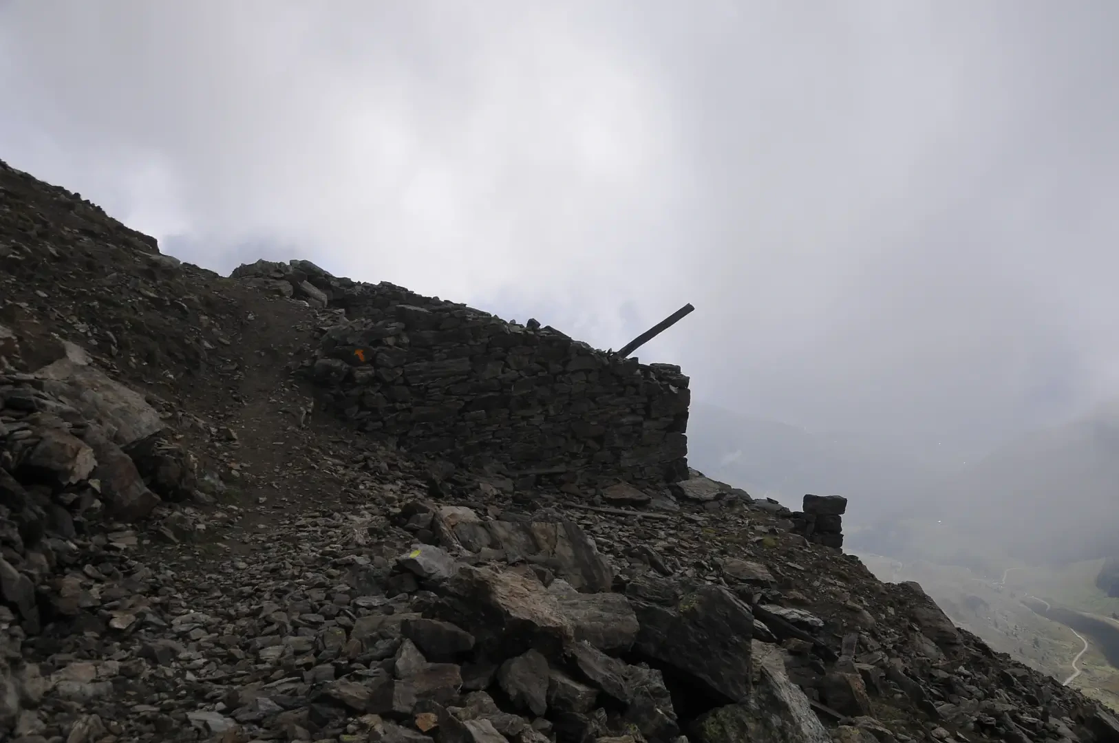
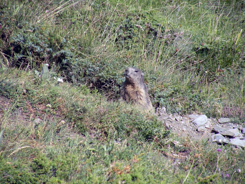
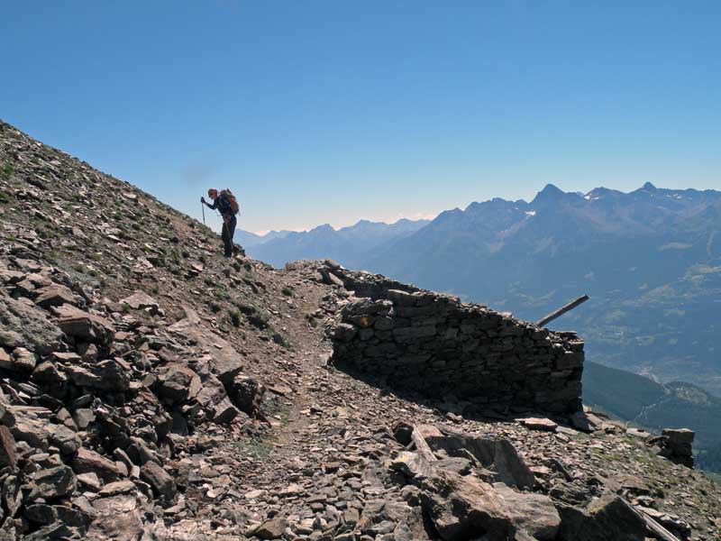
3h20' 6.91km Continue with a series of bends on the steep slope, where the meagre pastureland has now given way to the classic high-altitude scree environment, populated only by scattered groups of wild goats. The path turns right to reach the Alessandro Pansa bivouac (2983m), built on the remains of the old Capanna Margherita hut.
4h15' 8.05km
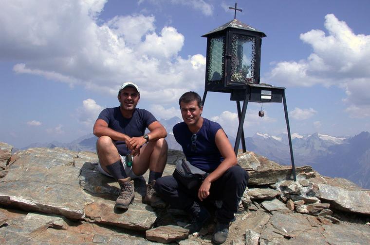
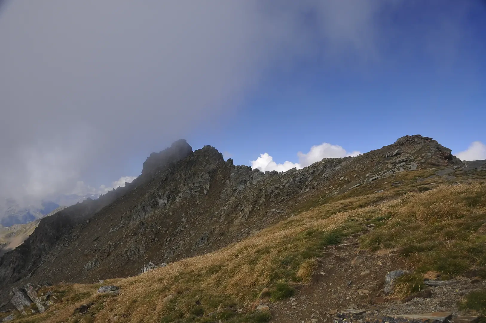
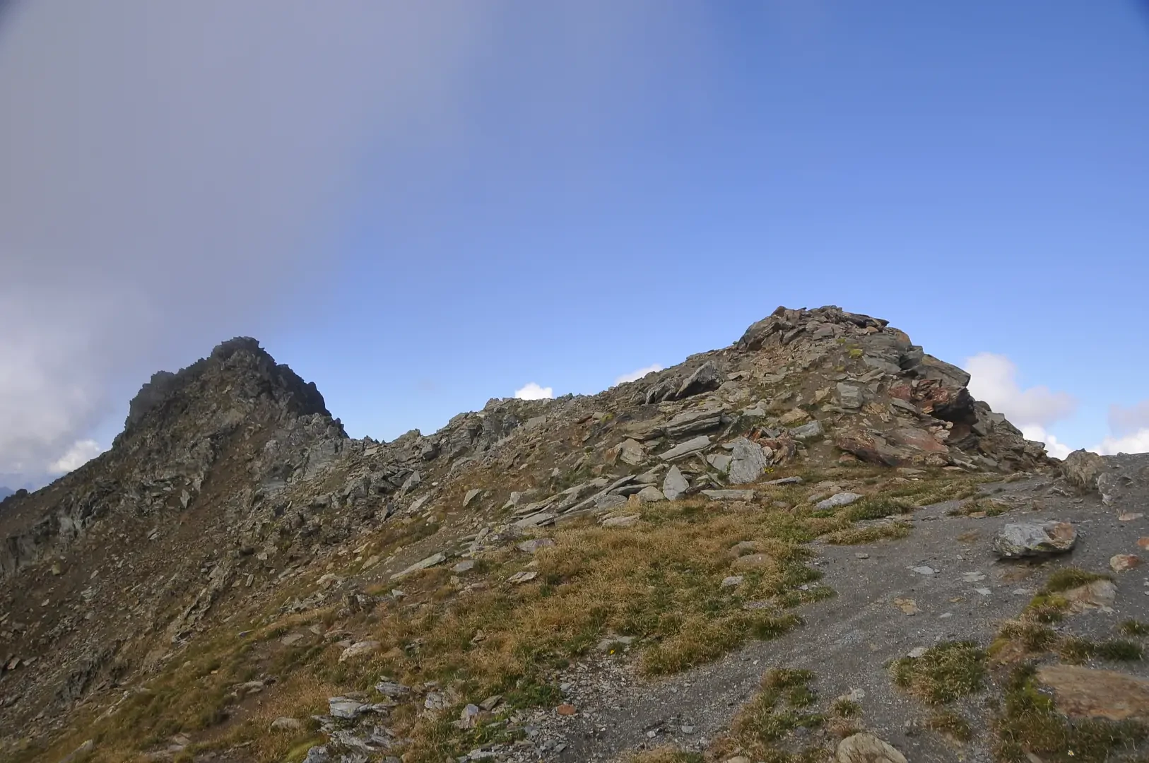
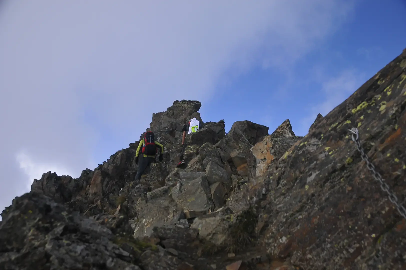
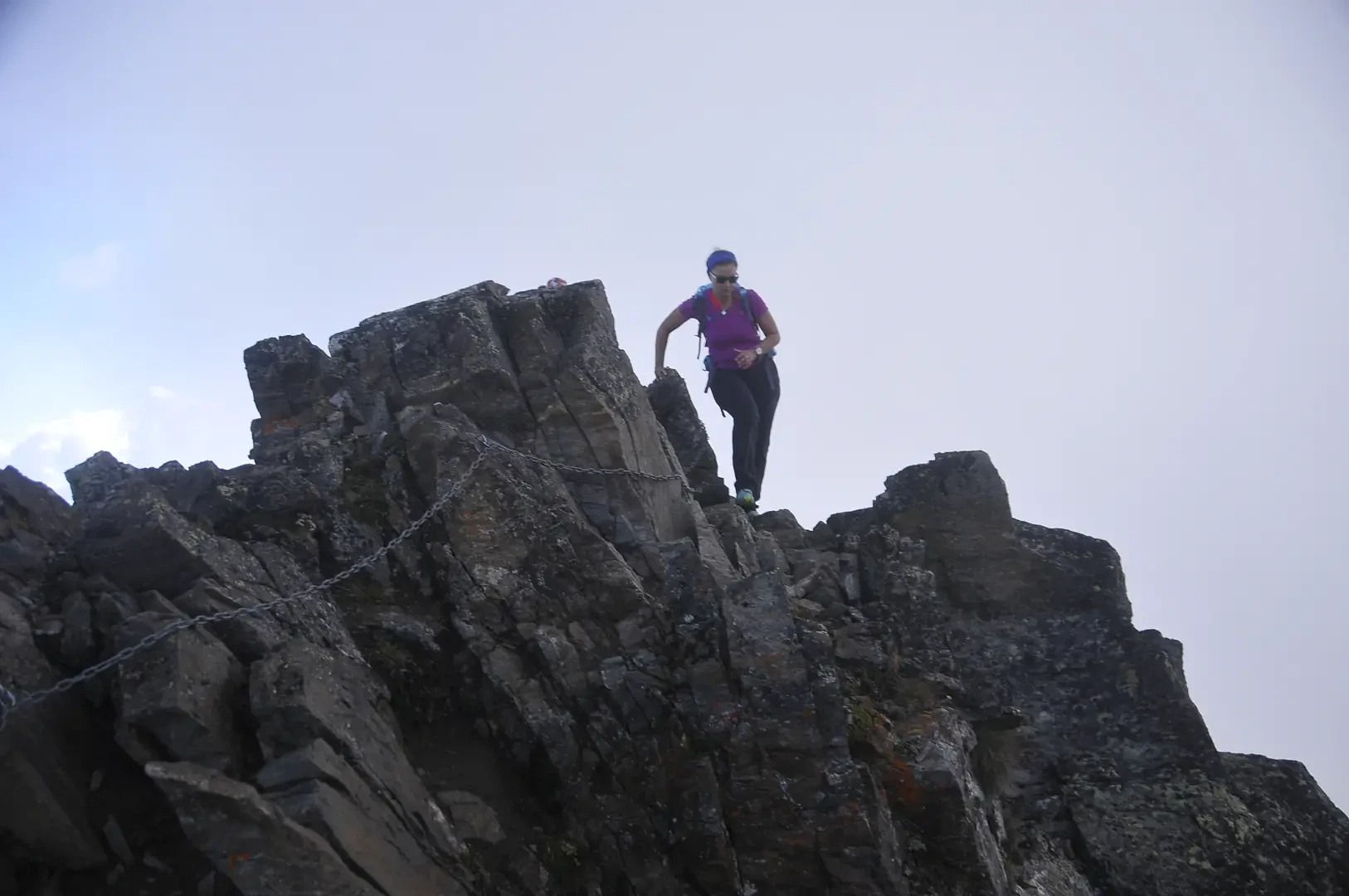
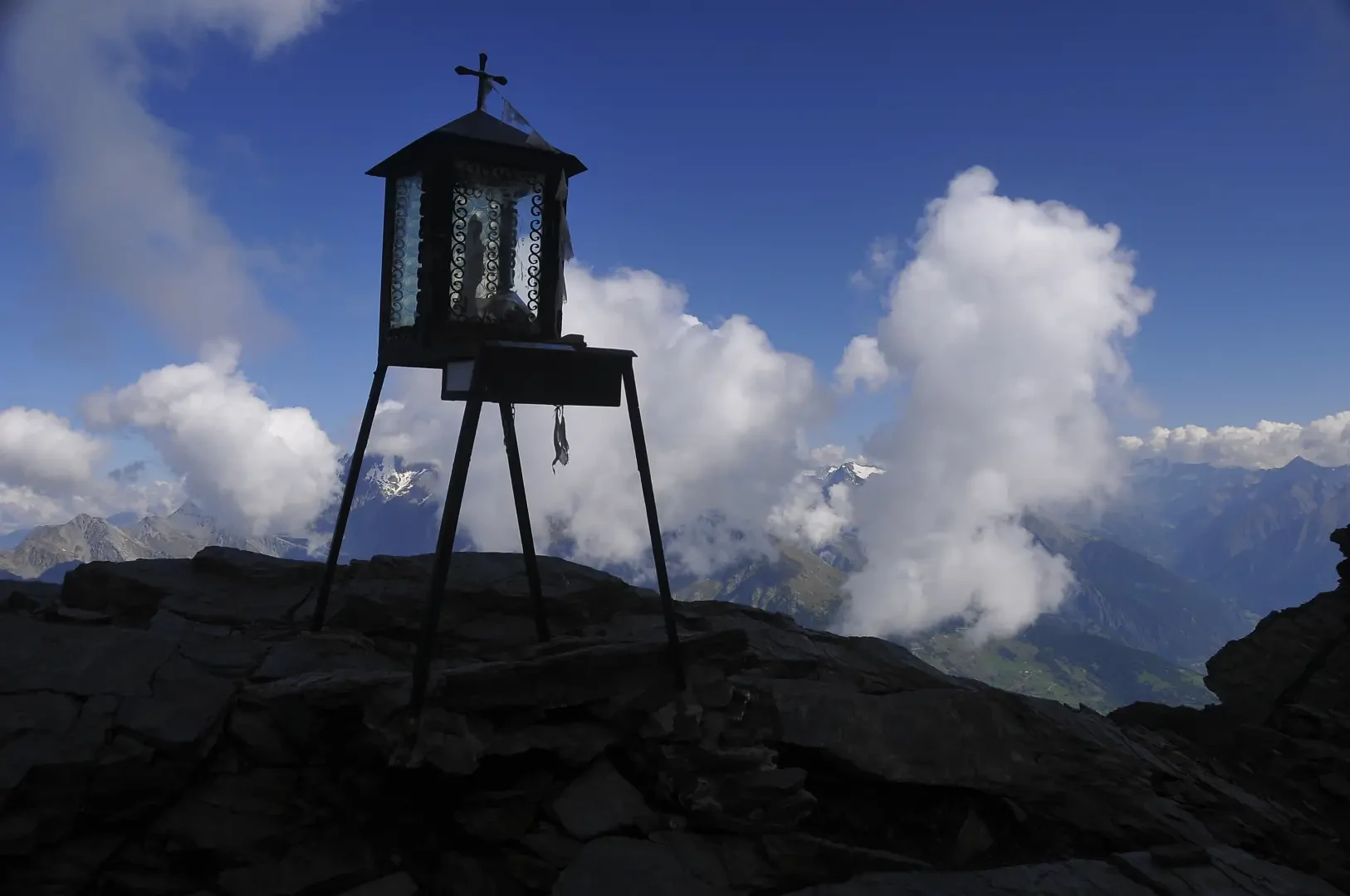
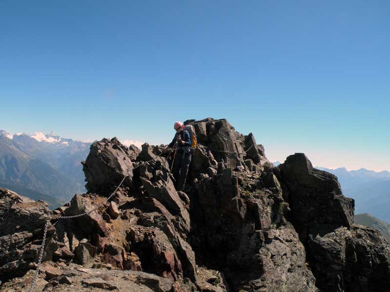
Walk along the final ridge, with some challenging and exposed passages (where you must use your hands in case of difficulty), but still within the terrain of hiking. At the end of the ridge you finally reach the summit, where a small shrine dedicated to Our Lady and a cross are erected (3061m) 8.41km .
The descent follows the same route as the ascent: be careful only on the first section of scree not to drop stones on your fellow hikers 2h25' 8.41km .
Points of Interest
Collections
Riferimenti Bibliografici
- Alpi Pennine Vol.1 - Buscaini Gino - CAI TCI, Milano, 1971
- I Monti di Aosta, Cogne, l’Avic e Champorcher - Zavatta Luca - L’escursionista editore, Rimini, 2001
Galleria fotografica
We have been there

Edited by:
Giancarlo Beretta
Mont Fallére
Giornata dal meteo spaziale con panorami di conseguenza. Il sentiero si perde un po' nell'erba sopra tsa de la comba ma per il resto ben evidente. Tratto attrezzato con catene ben ancorate. Giornata dal meteo spaziale con panorami di conseguenza. Il sentiero si perde un po' nell'erba sopra tsa de la comba ma per il resto ben evidente. Tratto attrezzato con catene ben ancorate. Avvistamenti faunistici: Marmota marmota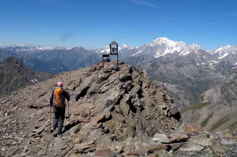
Edited by:
Massimo Martini
Mont Fallère, da Thouraz dessus
Bella salita in compagnia di Luca sino alla vetta del Mont Fallère