Giancarlo Beretta
Wrote 262 reports, for a total distance of 229,71Km up and a total elevation gain of 262,61Km and 2.252 hours of walking
Active filters:
User: 443
Showing 264 results
with active filters
Loading...
Truc de Tsantelèina, from Thumel
This excursion is a ring-route that, once it reaches the Benevolo refuge, starts from and returns to it and reaches...
T2
18.48 Km
1005 m
Hermitage de Saint-Grat, from Pila
This easy hike, which is also suitable for those new to this type of excursion, is one of the many...
WT2
0.00 Km
395 m
Col Plan Fenêtre
A long and very scenic hike, well marked from San Grato to Chamolé, which alternates between stretches in the woods...
WT2
14.00 Km
925 m
Pointe de Chaligne, da Petit Buthier
Escursione lunga ed impegnativa, non sempre tracciata, per amanti degli spazi aperti e dei bellissimi panorami che a 360° ci...
WT3
10.00 Km
1165 m
Berrier, from Ru
Easy ascent, also suitable for those who want to start out on this type of winter hike, as it is...
WT2
7.00 Km
562 m
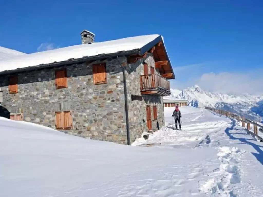
Shelter Captain Crova, from Menthieu
Captain Crova's hut is a masonry construction located above a large promontory and served, during the Second World War, as...
WT2
9.00 Km
657 m
Tsa de Chaligne, from Petit Buthier
This hike reaches a large alpine pasture below the slopes of the Punta Chaligne located above a wide and scenic...
WT2
8.00 Km
919 m
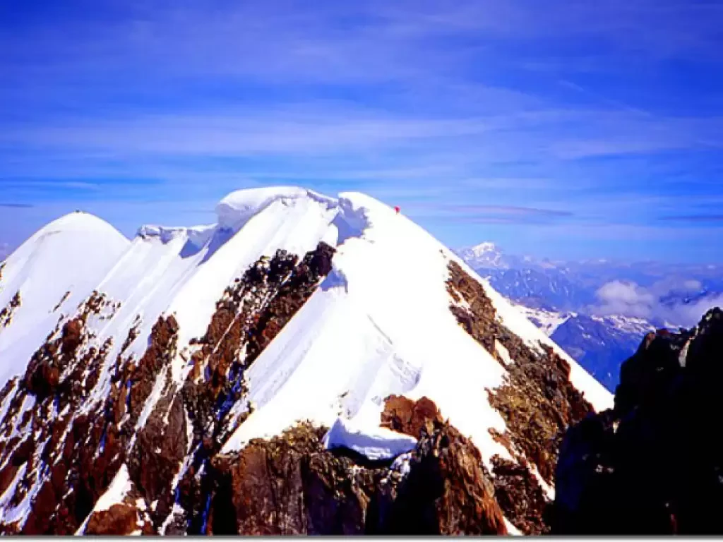
Breithorn traverse
This is one of the longest traverses of the Alps, completely on the ridge and always above 4000 metres. Throughout...
D
0.00 Km
745 m
Crown Troggi
A very scenic hike that should preferably be done on a clear day. There are a couple of sections that...
WT2
10.00 Km
714 m
Monte Cazzola
The excursion takes place on the edge of the Veglia and Devero Nature Park in an area, the Devero basin,...
WT2
9.00 Km
703 m
