Punta Valnera, from the car park at Fenillettaz

Edited by:
Sergio Enrico
Updated at: 01/06/2026
Access
Navigazione stradale
Lasciare l'autostrada al casello di Verrès. Alla rotatoria, prendere la seconda uscita e proseguire per 300m (0,3km), quindi svoltare a sinistra imboccando la in direzione Val d'Ayas. Percorrere la per 15,6km (15,9km), risalire il fondovalle e attraversare i borghi di Challand-Saint-Victor e Challand-Saint-Anselme, fino a raggiungere l'abitato di Brusson. Attraversare il paese e, poco prima del bivio per il Col de Joux, svoltare a destra seguendo le indicazioni per Estoul. Risalire la strada comunale per 6,5km (22,4km) fino al parcheggio di Fénillettaz, raggiungibile svoltando a sinistra nell'ultimo tratto.
Parcheggio
Al termine della salita si trova il parcheggio 🅿️ gratuito di Fénillettaz, punto di partenza dell'itinerario.
Accesso con mezzi pubblici
Per raggiungere il punto di partenza dell'itinerario è necessario un mezzo privato, poiché la località non è servita da trasporti pubblici.
Distanza e tempo di percorrenza
🕒 tempo di percorrenza: 36 minuti
📏 distanza: 22,5km
Navigazione GPS
Nota informativa
Le indicazioni fornite sono state verificate alla data del rilievo dell'itinerario. Prima della partenza si consiglia di verificare possibili variazioni del percorso o delle condizioni stradali. Per informazioni aggiornate si raccomanda di consultare Google Maps o Apple Maps.
Introduction
A very popular winter route. The last section of the col requires well-balanced snow.
.Description
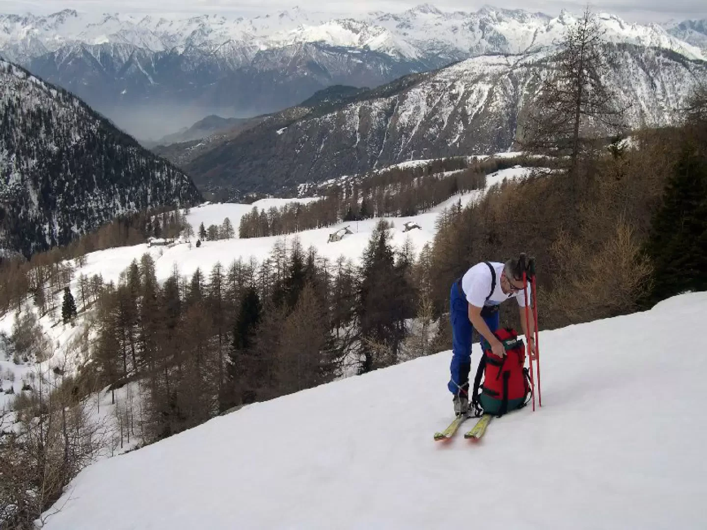
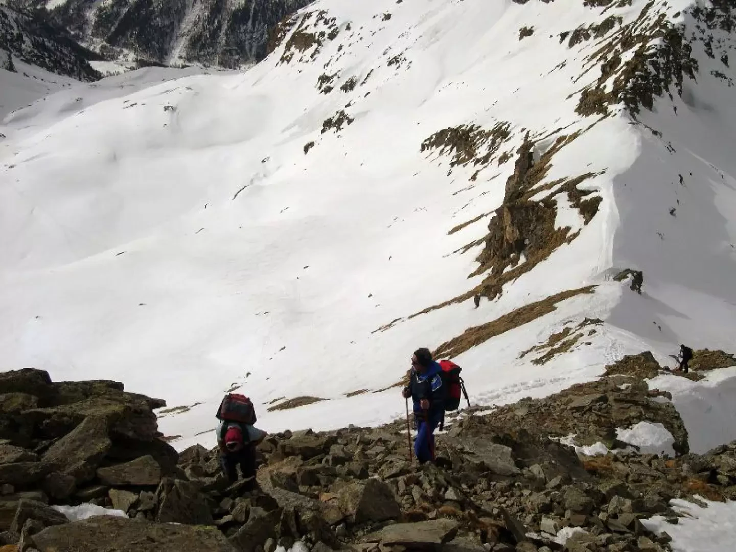
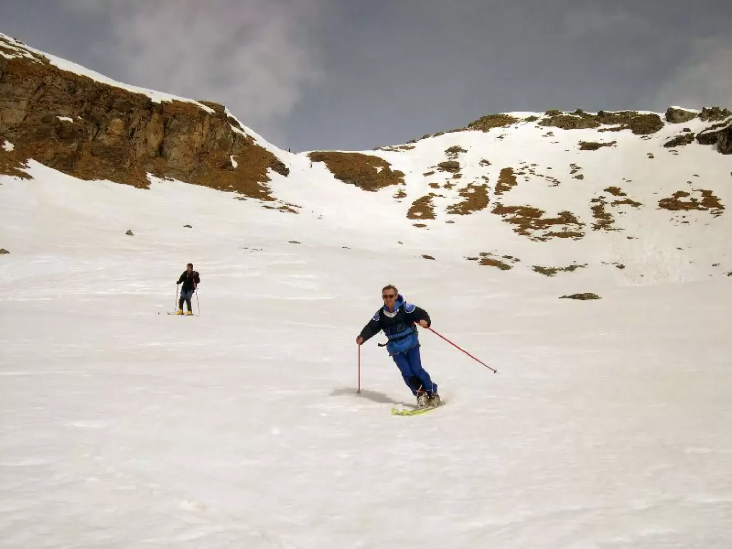
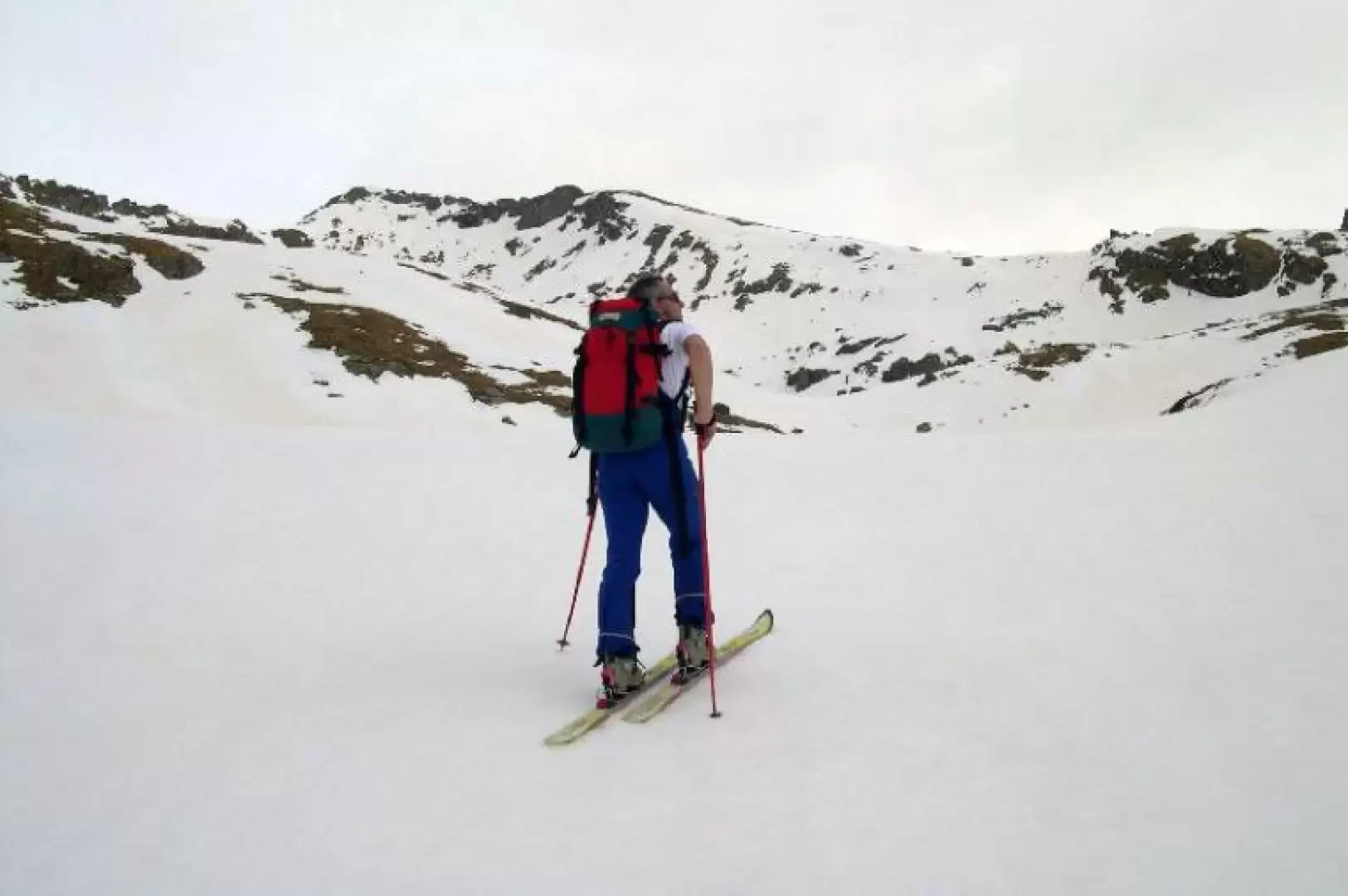
From the end of the road, cross the gentle slopes above until you reach the mule track which, passing above the Moscerola alp, enters the wood. Follow it faithfully on the long uphill traverse until you enter the bottom of the valley. Continue to the left of the steep little valley until you reach a small hollow. Deviate to the left and take a wide ridge that, with successive crags, leads to a beautiful plateau; cross it to the right and then climb up a small valley that opens out into the basin of the Estoul lakes, from which the final stretch is clearly visible. Pass between the two lakes and climb the beautiful slopes, first moving to the left and then to the right, up to the very steep final col, which is climbed in tight zigzags. Leaving your skis along the ridge, you reach the summit on foot. With optimal snowpack conditions, it is possible to descend directly from the summit.
.Galleria fotografica