Isollaz waterfall, from the Isollaz waterfall car park


Edited by:
Massimo Martini
Updated at: 04/05/2025
Access
At the motorway junction of Verrès, enter the roundabout and take the second exit. Proceed in the direction of the town centre and, after about 300 metres, turn left onto the regional road for Val d'Ayas. Continue for 3.5 kilometres until you reach the junction for Isollaz. Turn right and, after about 100 metres, there is a small picnic area on the right with a free car park 🅿️ where you can leave your car. During busy periods, it may be difficult to find a place. At the end of the car park there are two information panels with details of the waterfall and the ancient mines in the area.
🚫 The starting point of the route cannot be reached by public transport, so it is necessary to use a private vehicle.
Distance and travel time
🕒Travel time: 8 minutes
📏 Distance: 4 km
GPS navigation
📍 How to get there with Google Maps
📍 How to get there with Apple Maps
ℹ️ Important note
The information provided has been checked on the date of the survey of the route. Before departure, it is advisable to check for any changes to the route. For up-to-date and detailed directions, we recommend the use of Google Maps or Apple Maps.
.Introduction
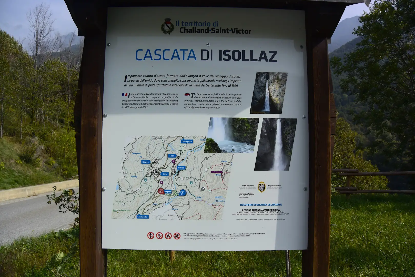
In the heart of Valle d'Aosta, nestled between the mountains and the history of Val d'Evançon, lies a naturalistic jewel of extraordinary beauty: the Isollaz waterfall. Located in the hamlet of Targnod, in the municipality of Challand-Saint-Victor, this marvel is formed by the impetuous waters of the Évançon torrent, which, set between narrow rock walls, make a majestic 50-metre leap.
The excursion to the Isollaz waterfall is not only a naturalistic experience, but also a journey to discover the area's historical heritage, such as the ancient Sache mine, a testimony to life and work in the Alpine valleys. It is in this context that the JOVIAUX! - JOVIAUX - JEUne, promoted by Africa'70 and PROTHEA, which places young people at the heart of the protection of the territory, guiding them in the enhancement of its natural and cultural resources.
The excursion is therefore an opportunity to admire one of the region's most evocative landscapes, but also to reflect on the link between the environment, memory and the active participation of the new generations in safeguarding their future.
Description
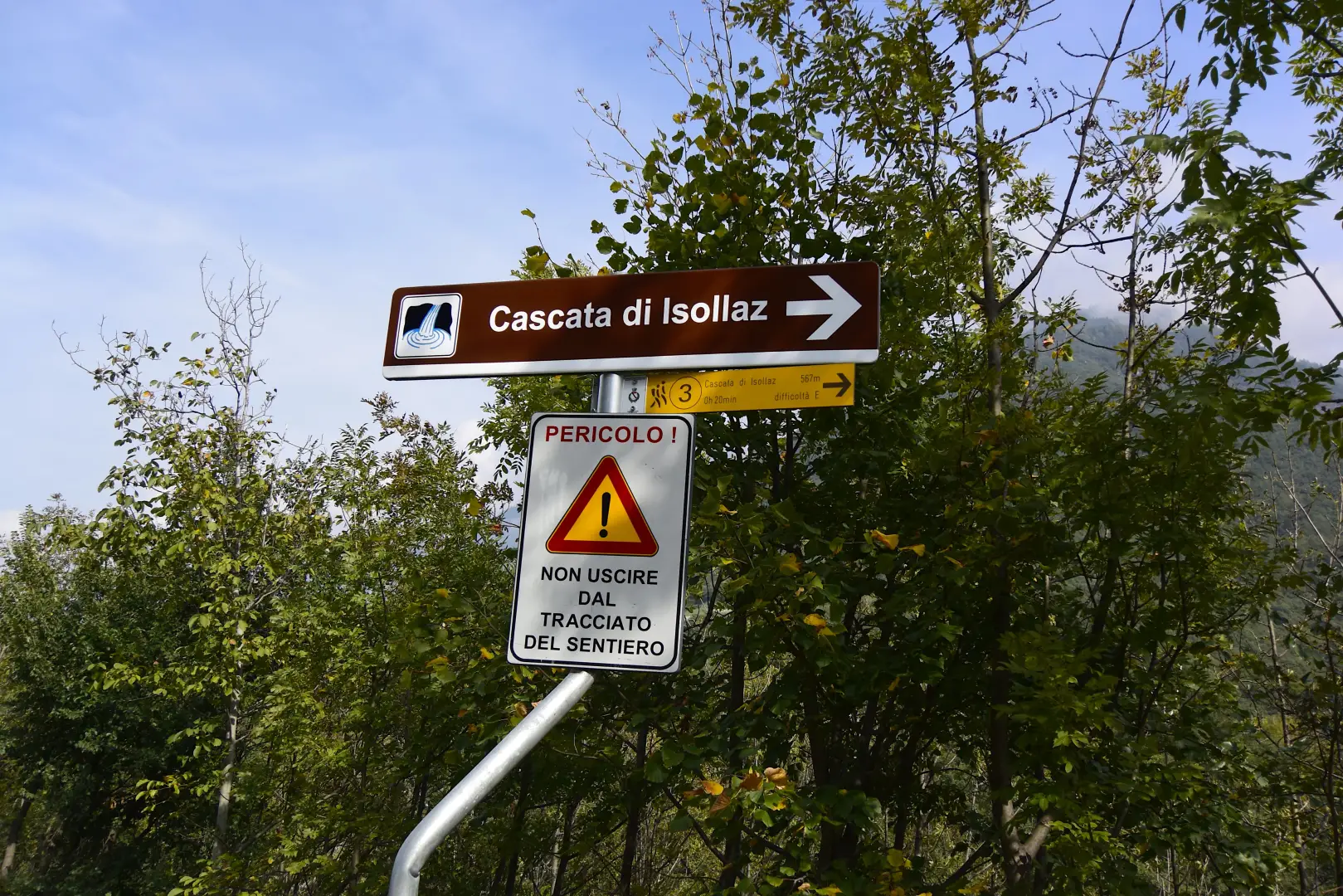
0h00' 0.00km Continue on level ground along the municipal road for about 300 metres until you reach the signpost for the waterfall.
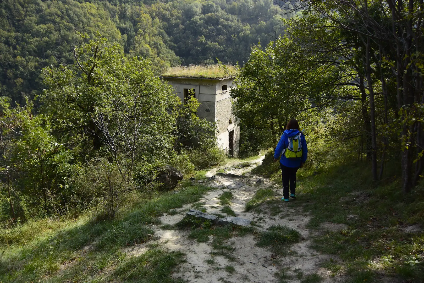
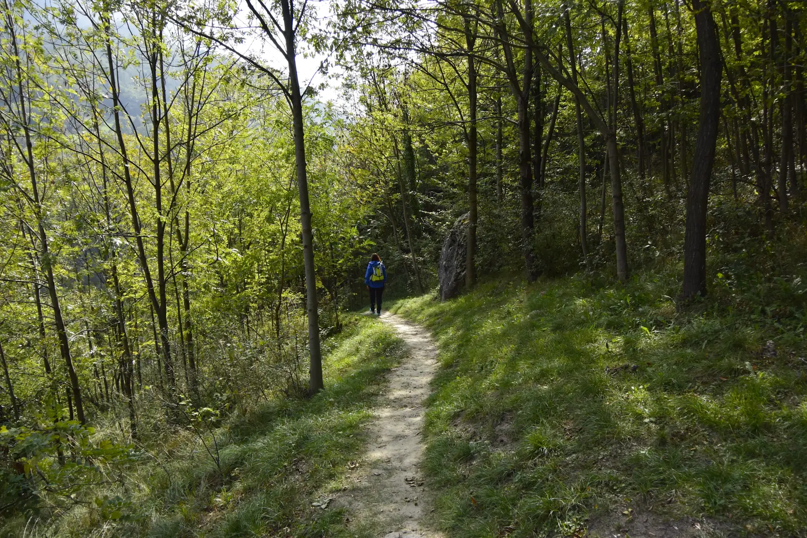
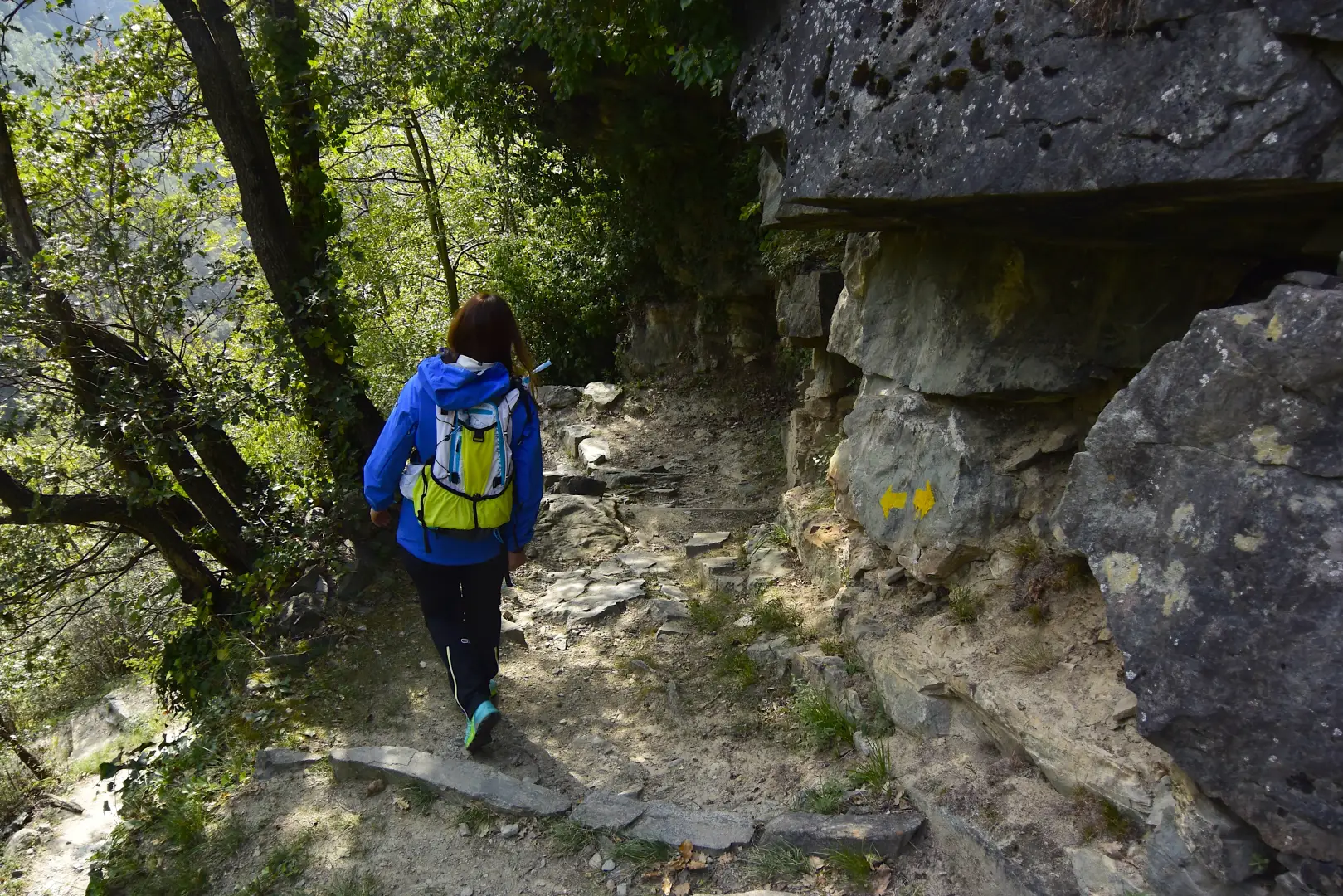
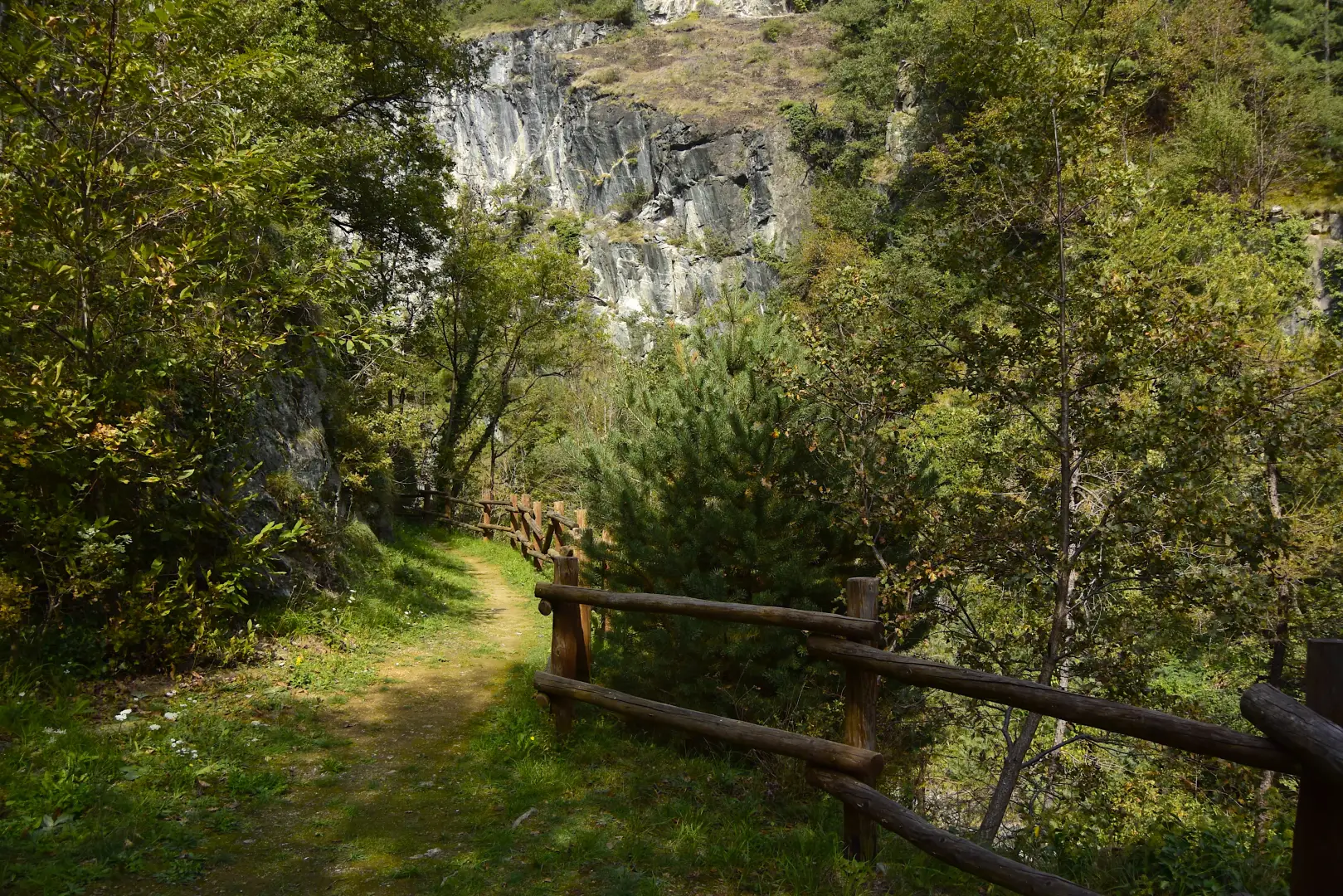
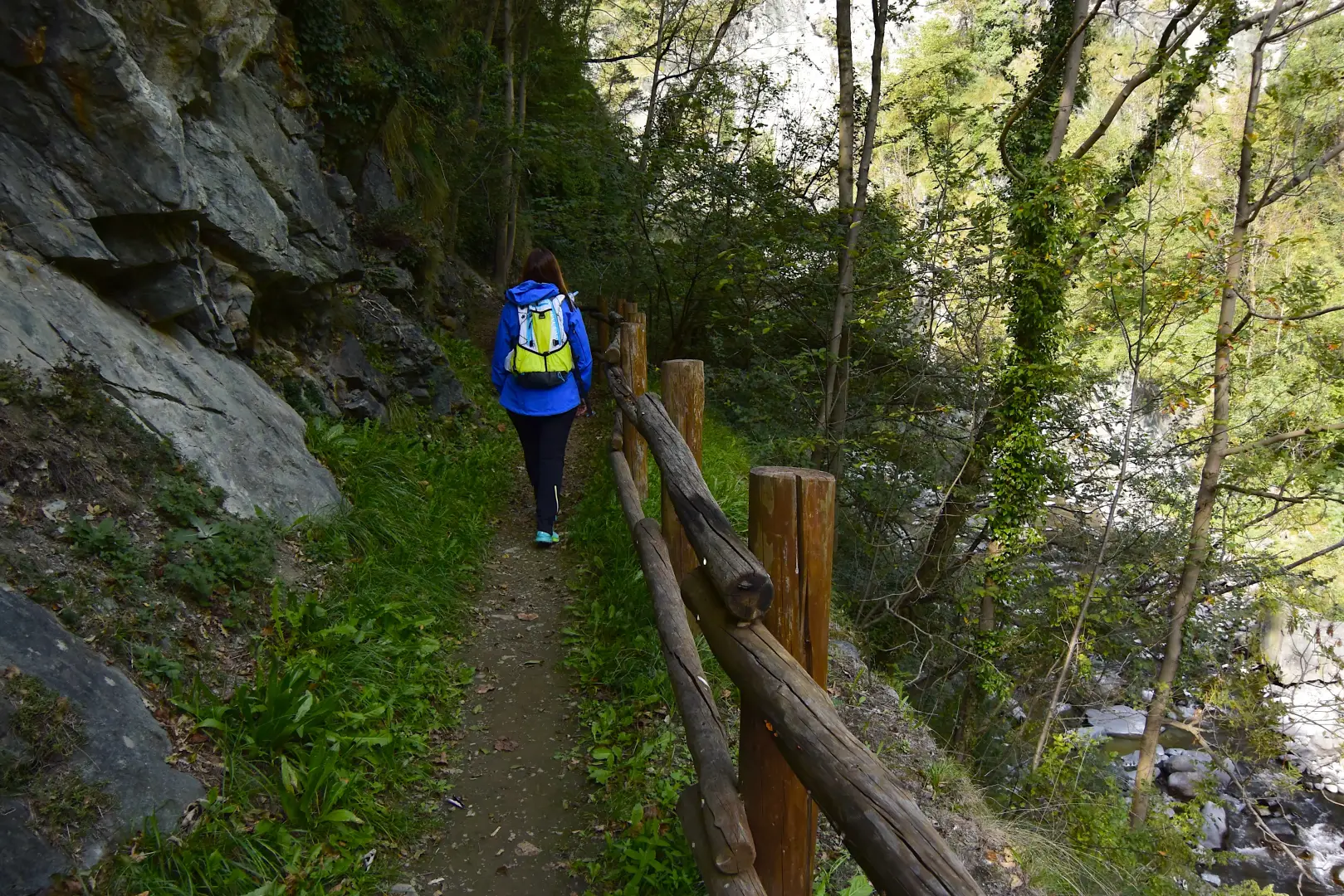
0h05' 0.30km (3)Take the path to the right and begin a short but steep descent into the woods. The track alternates between dirt sections and sections with steps and, after passing an electricity box and some less steep bends, joins a path coming from the valley. Keep to the left and, continuing on a level path, you first reach a section bordered by a wooden railing, then the end of the path, opposite the magnificent waterfall (545m) 0h15' 0.85km .
The return journey takes place along the same route as the outward journey: the climb, although steep, allows you to reach the road and, in a few minutes, the car park (659m) 0h25' 0.85km .
Points of interest
- Cascata di Isollaz
Collections
Galleria fotografica