Croix de la Roley, from Breuil


Edited by:
Massimo Martini
Updated at: 24/07/2025
Access
From the motorway barrier at Aosta-West, keep left and follow the signs for Aosta - Saint-Pierre. After one kilometre, at the roundabout, take the second exit to join the national road . Continue on the state road for 4.3 kilometres, passing the village of Saint-Pierre until you reach a new roundabout with the Gran Paradiso National Park sign. Take the first exit and continue on the state road for 1.4 kilometres until you come to the exit for Introd/Rhemes S.G/Rhemes N.D/Valsavarenche. Continue for 700 metres and at the roundabout take the first exit onto for Valsavarenche. Follow the regional road for 3.9 kilometres, pass the village of Introd and, after a series of hairpin bends, you will reach the junction for Val di Rhêmes . Continue to the left on and climb the valley for another 21.8 kilometres, passing the main town Dégioz, the village of Eau Rousse and finally, shortly after the village of Le Pont, the large free car park 🅿️ in Breuil.
[0h44'] - [33.1km]
How to get there with GMaps
How to get there with Apple Maps
Pont Valsavarenche can also be reached by bus with the company Arriva, leaving from Villeneuve in about 50 minutes.
The directions given here have been verified at the time of the survey of the itinerary. Before setting off, it is advisable to make sure that no substantial changes have occurred on the route to the starting point. We therefore recommend using the satellite navigation apps provided by Google or Apple to obtain up-to-date and detailed directions.
Introduction
A pleasant walk that at the summit becomes a privileged viewpoint over the western slope of Gran Paradiso. There are no water supply points along the route, so it is advisable to tackle the itinerary with full water bottles.
Description
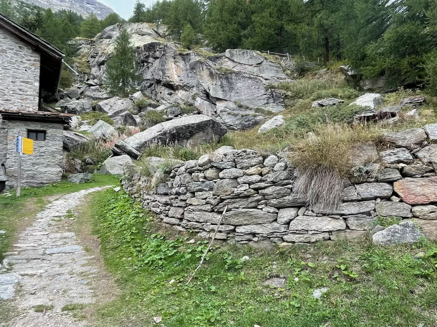
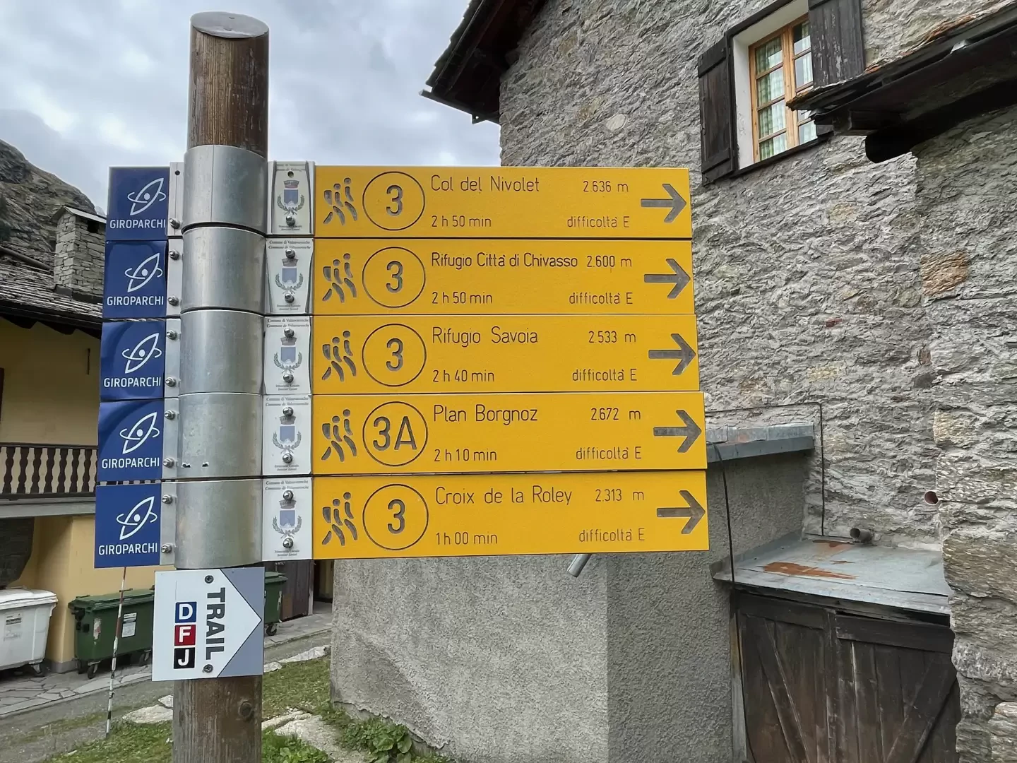
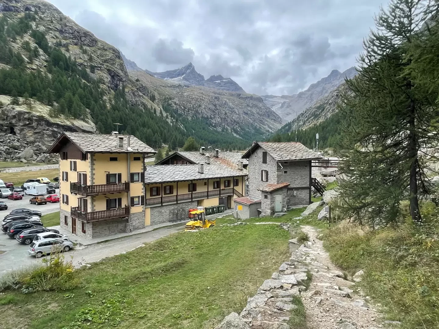
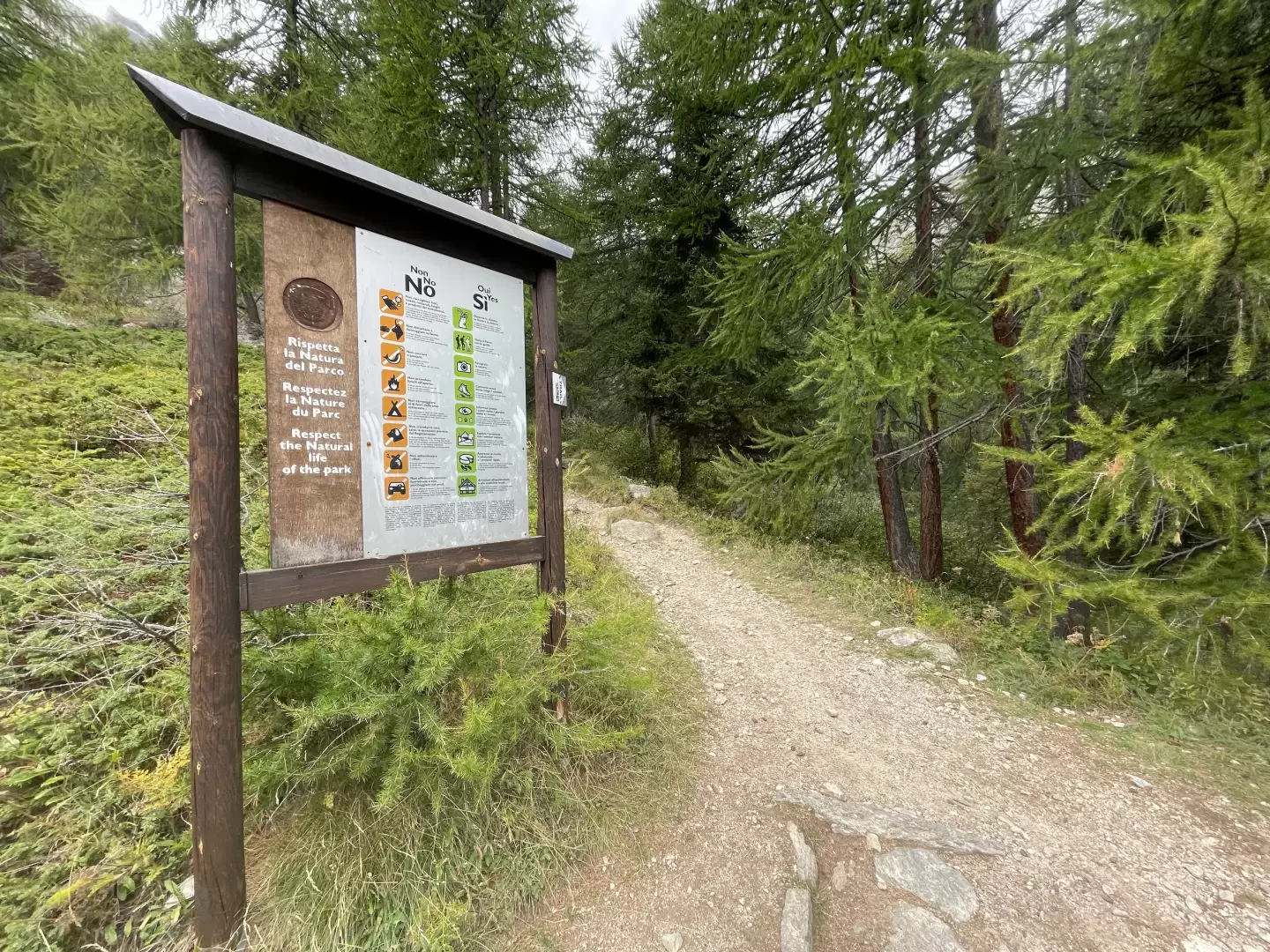
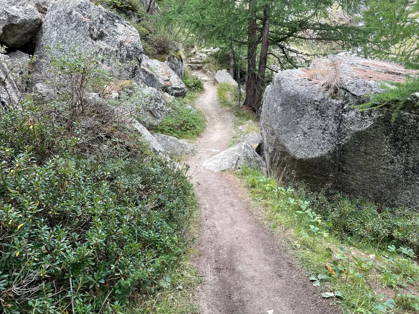
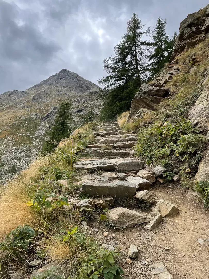
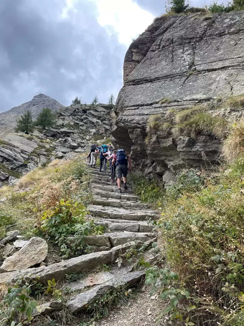
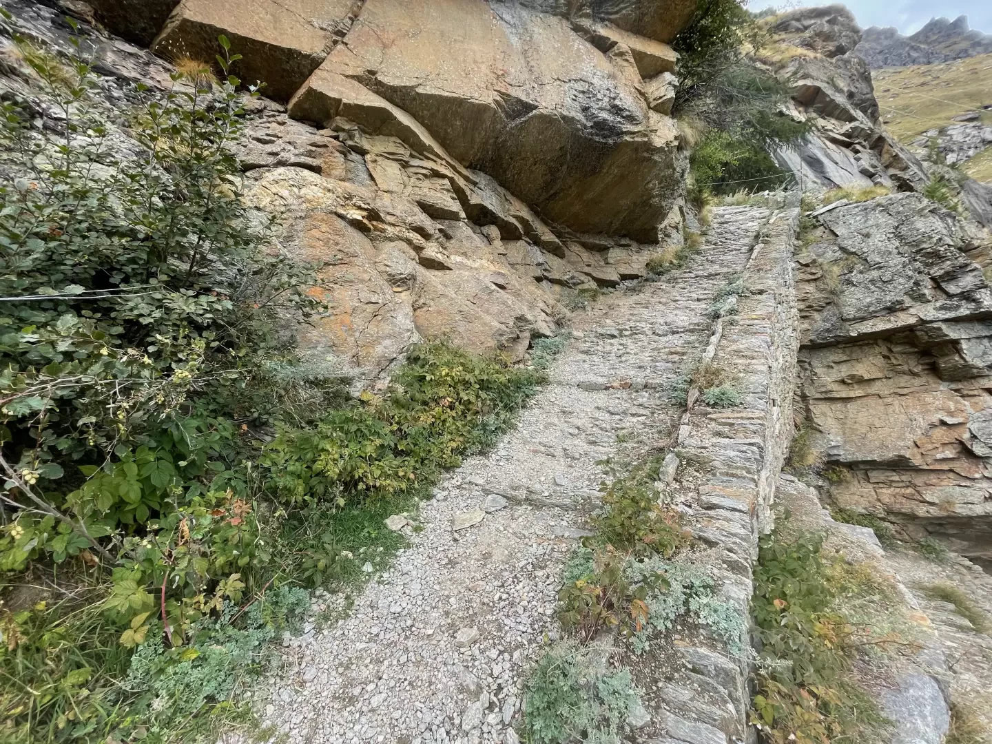
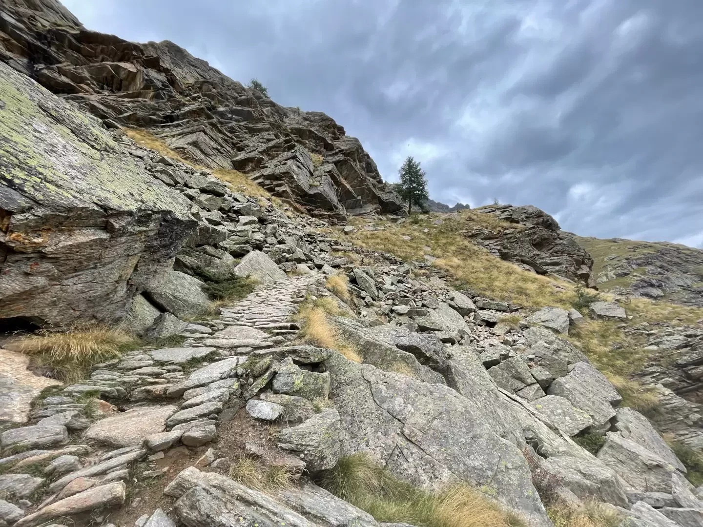
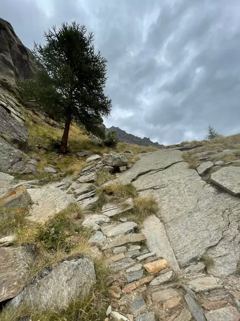
0h00' 0.00km From the car park head westwards, taking you behind the Albergo Gran Paradiso, where there is a signpost with indications of the main routes towards the Nivolet plateau. Behind the structure, take the wide mule track, following the signs for path , which takes a couple of turns and enters the larch woods. After crossing the panel with the Gran Paradiso National Park's land-use information, the wide path stretches into the Bois de la Roley without excessive gradient. After sighting a pylon of the Valle d'Aosta - Valle dell'Orco electricity line, the beautiful Doire du Nivolet waterfall is spotted for the first time. We leave the forest and ascend the orographic right of the impluvium. The path passes several rocky crags, which are passed on a splendid stepped mule track. A series of twists and turns allow you to quickly gain height and reach the Croix de Roley (2313m 1h00' ), the Aosta Valley's gateway to the magical world of the Nivolet.
The return journey follows the same route as the outward journey (0h40' ).
.Galleria fotografica